Ohio’s Windy 9 Map
Get your map and start planning
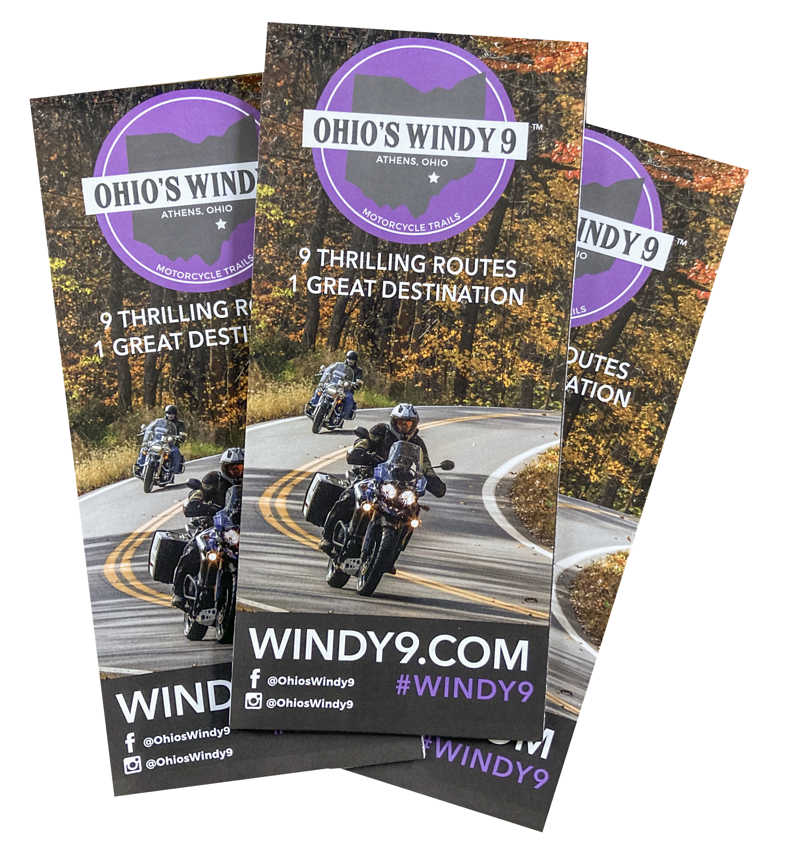
Our latest map includes turn-by-turn directions for all 9 routes, a list of roadside attractions, suggested eateries, fuel stations and a list of places to stay overnight. Request the official Ohio’s Windy 9 map (21” W x 19” H) or download the PDF map using the buttons below.

Tank Bag Maps
Download these pdf files and print them out for your tank bag
The files are designed to be folded in half to 7.5” (H) x 5” (W). They display turn-by-turn directions on one side and the isolated ride map on the other.
Up, up, and away to the top of Ohio’s Windy 9. Gaze upon the “Rim of the World” along the famous Route 78. Wayne National Forest, Burr Oak State Park, and the Stockport Mill highlight one of America’s most popular rides!
86.6 miles
Head south along the Ohio River Scenic Byway through river towns of yesteryear. At the southern most point of this loop you can cross the mighty Ohio to visit Point Pleasant, West Virginia — spot the “Mothman.” Or stay on our side of the river and take a break at the Gallipolis City Park before turning north for more scenic Appalachian countryside.
92.8 miles
Onward through Wayne National Forest into the famous Hocking Hills region to discover one of America’s most popular eco-adventure destinations. Take your time along the Hocking Hills Scenic Byway and explore a variety of unique, seasonal experience.
92.3 miles
Cruise alongside the Hocking River to its confluence with the Ohio. See some great modern engineering as you pass many Ohio River locks and dams. Visit the biker-friendly town of Pomeroy,featuring region’s best views of the Ohio River.
101.1 miles
Get a perfect snapshot of the true Ohio riding experience on this short route. Zip though the curvy roads or take it slow. Explore Lake Hope State Park, Zaleski State Forest, or navigate the gravel road to the popular Moonville Tunnel.
60.8 miles
Majestic rolling hills are showcased along this challenging trek. You’ll get a glimpse of State Route 555, aka The Triple Nickel, as you breeze by ridge top farms and orchards on your way to and from the rivertown of Marietta, Ohio.
103.5 miles
Old US 33 takes riders back in time by navigating the main historic thoroughfare connecting Athens to the Ohio River. Fill the belly and the bike in Pomeroy before heading deep into Ohio’s Appalachian backcountry.
63.3 miles
Celebrate the Hocking Valley’s coal heritage with a tour through the Little Cities of Black Diamonds. Turn-of-the-century upstart mining towns shimmer along this jewel of a ride. Toss in the Wayne National Forest and Nelsonville’s Historic Square for a most unforgettable run.
103.5 miles
Test your skills on OH 555, also known as The Triple Nickel. Considered the most technically challenging road in the region, this ride is not for beginners. For the rest of you, get ready for one of the best rides of your life.
92 miles (184 round trip)


